Click the title of a ride to download a .gpx file. There are several online GPX viewers for free or they can be uploaded to Strava or Garmin Connect. I routed these with Garmin Explore so you should be able to use your devices turn by turn directions.

35 mile road ride with MT. A climb
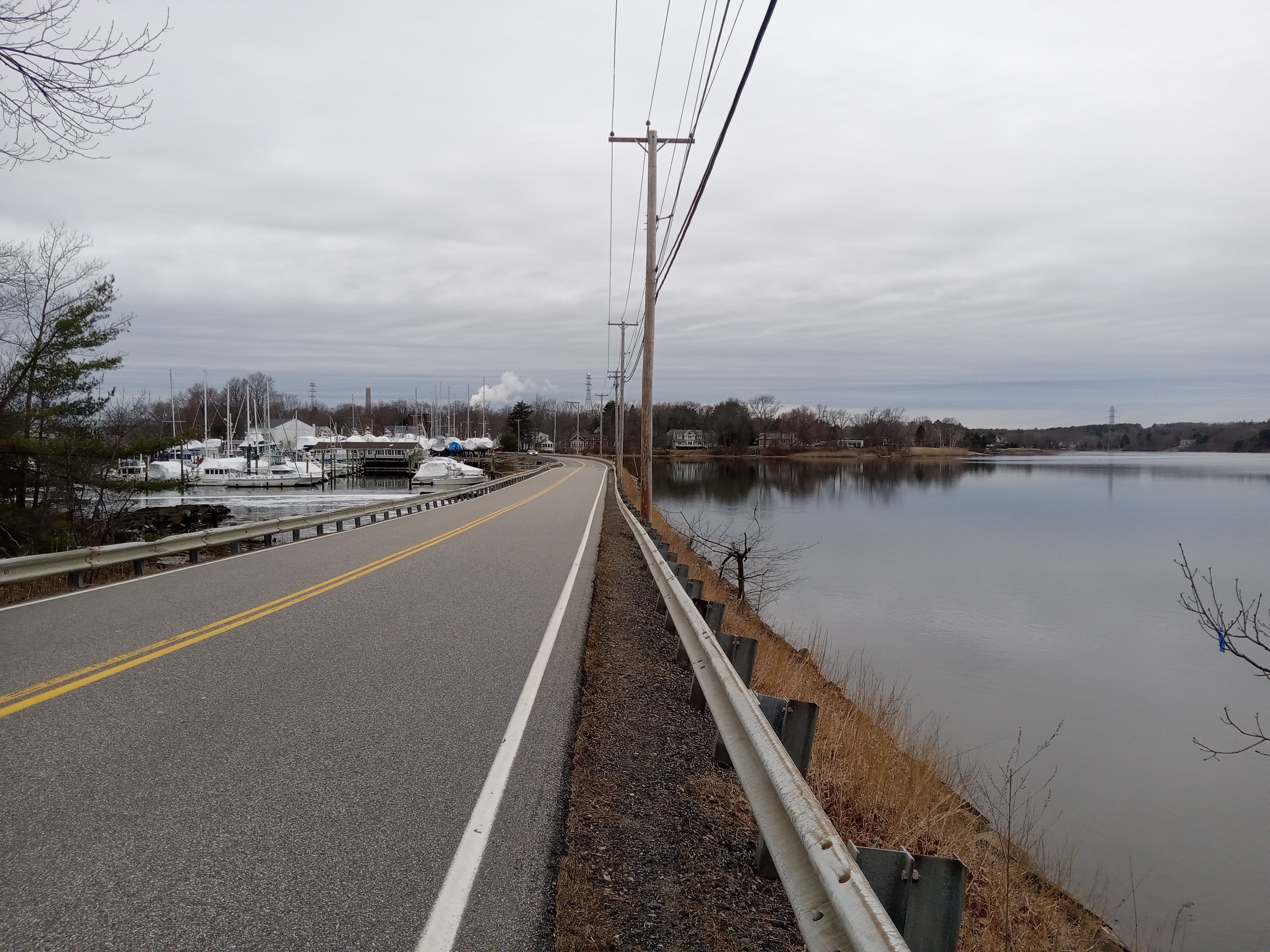
Ride along the coast and into Ogunquit via shore rd. Then inland to the quiet roads of Cape Neddick. Once back in York you can turn right onto Mountain Rd to ride an out and back to the top of Mt. A. Or skip the climb and continue left onto Chases Pond rd and then Scituate Rd
30 mile road and some gravel
Along the coast until the Cape Neddick river, turn inland and ride the first half of Mountain Rd. Head south to Scituate Rd and into the York Water District to start your gravel ride. The blue trail until a right onto Yellow trail bringing you to the base of Mt. A. Past the Mt. A parking lot the gravel continues for about another 3/4 of a mile. Turn onto Mill ln which is partially paved. Rest of ride is pavement. I would opt to ride Birch hill to Beech Ridge instead of taking Cider hill Rd (RT 91). Once back to Rt 1, you can continue straight to Southside Rd or take Rt 1 back. Southside has blind corners and no shoulder, but it’s a nice ride. Rt 1 will be faster traffic but has a good size shoulder.

30 mile Road ride into kittery and eliot
One of my favorite after work rides. Quiet road and well paved roads for the most part. It’s a bit end loaded, so most elevation is in the last third of ride.
53 mile road ride into Kittery, eliot, and south berwick
First 20 miles are the same as the 30 mile ride to the left. Continue on through South Berwick and looping back to Ogunquit and then York. I will be updating this particular file in the next couple of weeks to make some tweaks.